Switzerland's EPFL has managed to catch our attention with its various UAV-related activities, and it looks like it's also been the radar of Parrot, maker of the AR.Drones. EPFL announced today that the French company is investing 7.4 million Swiss Francs (or about $7.5 million) in two companies that have been spun out of the institution: senseFly and Pix4D. As you may recall, those two have collaborated in the past, with senseFly providing the camera-equipped UAVs necessary for Pix4D's 3D mapping software. Broken down, the investment works out to 2.4 million Francs put into Pix4D and five million invested in senseFly, the latter of which is enough for Parrot to claim a majority stake company. As for the future, senseFly's CEO says that the deal will give Parrot "access to the expertise and the technology for specialized drones," while Pix4D's CEO says that the investment "reinforces our position as a leader in software for professional drones" and opens up new business opportunities. It also makes it clear, if it wasn't already, that Parrot is getting pretty serious about drones. You can find the official announcement after the break, along with a video from EPFL explaining the deal.
Continue reading Drone-maker Parrot invests $7.5 million in two EPFL spin-offs, sets sights beyond toys
Filed under: Misc. Gadgets
Drone-maker Parrot invests $7.5 million in two EPFL spin-offs, sets sights beyond toys originally appeared on Engadget on Thu, 26 Jul 2012 12:00:00 EDT. Please see our terms for use of feeds.
Permalink | |
Email this |
Comments
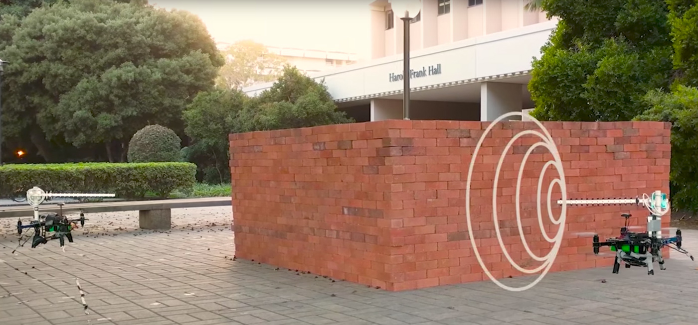
 Turns out WiFi is good for more than just sharing cat GIFs with your friends. Researchers at the Mostofi Lab at UC Santa Barbara have created a system that "sees" inside buildings using two drones and WiFi.
 Turns out WiFi is good for more than just sharing cat GIFs with your friends. Researchers at the Mostofi Lab at UC Santa Barbara have created a system that "sees" inside buildings using two drones and WiFi.
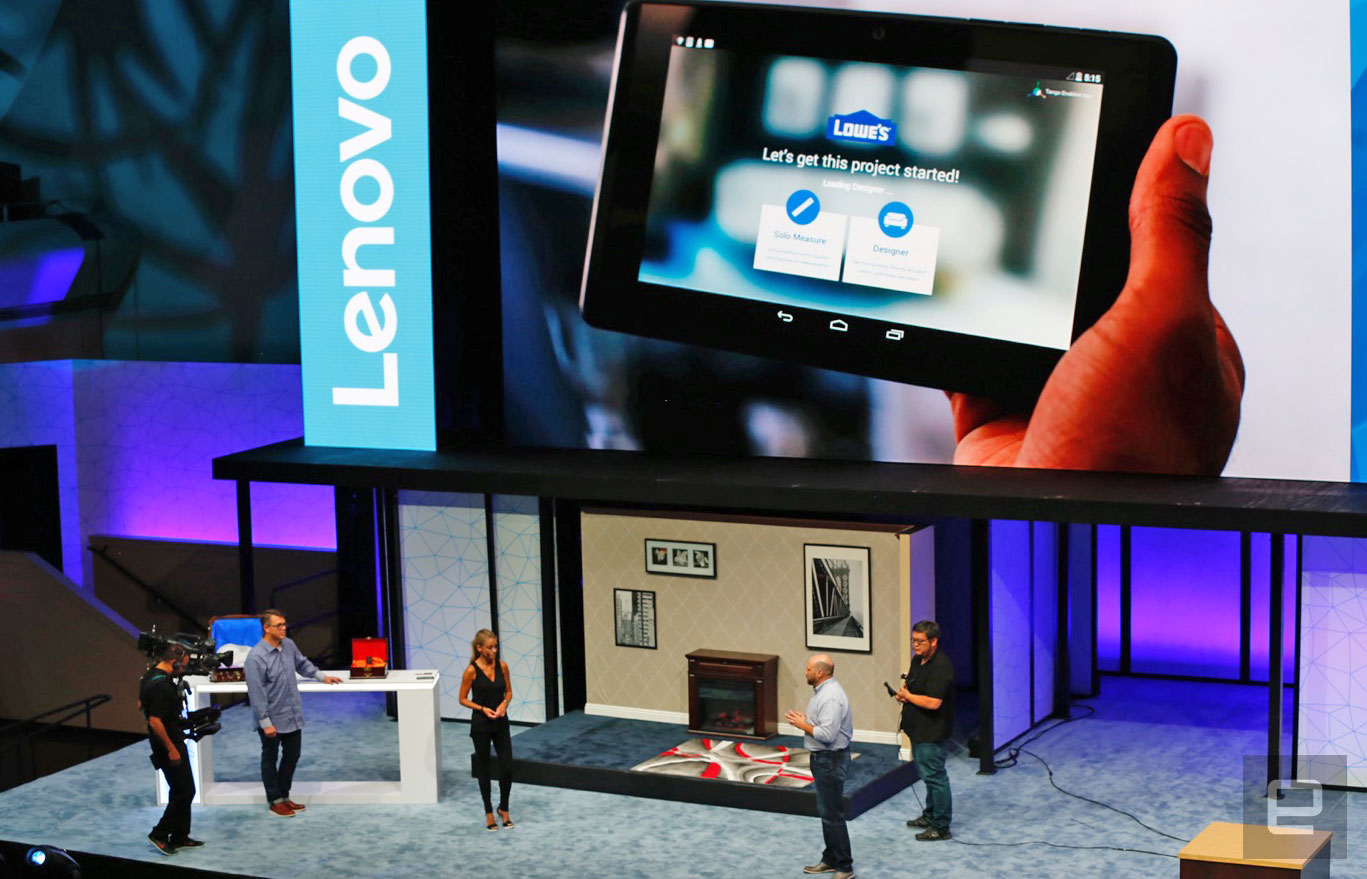
 We've explored the Museu Nacional d'Art de Catalunya using Google's Tango technology, and we've also used it for a little gaming. Now that Lenovo is bringing the first Tango device for the masses, we're also going to see new augmented reality softwar...
 Scientists at Griffith University's Institute for Glycomics released the world's first 3-D image of a protein that is linked to the spread of cancer. Where before scientists had to guess what the structure looked like, now they have a clear 3-D mod...


